Landscape of Northland

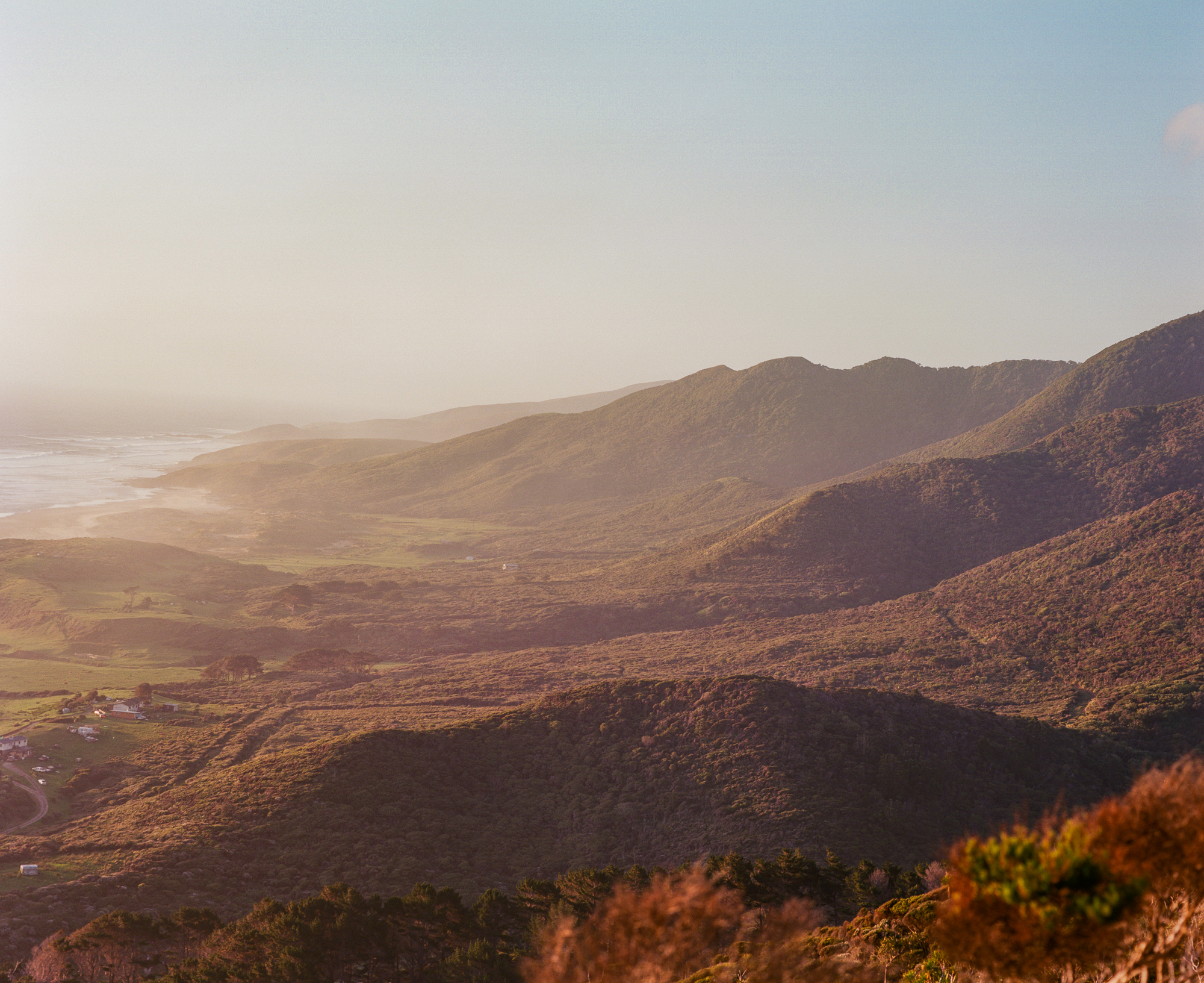
The stories that built this project came from people living around the Warawara and Waipoua forests and throughout Northland/Te Taitokerau in the municipalities of Kaitaia, Ahipara, Mitimiti, Pawarenga, Panguru, Kohukohu, Rawene, Opononi, Omāpere, Waimamaku, Waipoua, Kaihū, Dargaville, Matakohe, Mōtatau, Kawakawa, Kerikeri, Paihia, Waitangi, Whangārei, Waitakere and Auckland. While they all first developed on the land Maui caught in the time of creation, today these towns are connected by a web of highways, hillsides, and farmland (fig. 5).
Figure 5. Te Taitokerau–Northland
Figure 6. Te Taitokerau–Northland, Journey East to West
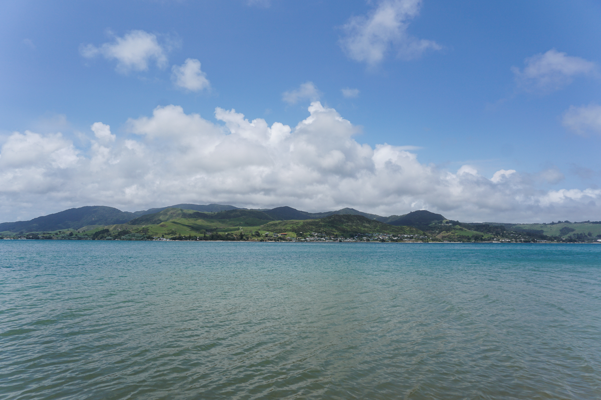
On the drive from the Bay of Islands on the east coast to the native forests running down the west coast – aptly nicknamed the Kauri Coast – a glance out the window reveals a vast landscape of green sloping hills speckled with modest homes and farm houses, livestock grazing on manicured farmland, and the always present glimpse of forested mountain tops just beyond the horizon (fig. 6).

The Hokianga Harbour comes into view at the threshold to the western side of the North Island. On a clear, sunny day the blue and faded emerald waves lick against the rocky barricades and wooden wharfs of the coastal enclaves of Opononi and Omāpere. In the distance, a golden sand spit shoots into the horizon, sloping sharply as it submerges into the open Tasman Sea. On an overcast day, charcoal water crashes against the coast in foaming punches, and off through the misty horizon, westerly winds churn white caps in the ocean waves trying to break into the harbor past the stubborn sand barrier.
The Warawara and Waipoua forests sit north and south of the harbor, respectively. To reach Warawara from the Hokianga junction, you take the vehicle and passenger ferry, which departs every 30 minutes between Rawene and Kohukohu, across the harbor toward Kohukohu, and drive on West Coast Road toward Panguru until you reach the bush. Public entry into Warawara is minimal, as it is closed to public use, but there is access from the northern edge near Pawarenga via an old logging road and on the southwestern edge near Mitimiti via an old Department of Conservation access path used by locals for hunting, logging work, and pest control (fig. 7).
Figure 7. Warawara Ngahere
To reach the Waipoua forest from the Hokianga junction, remain on State Highway 12 past Opononi and Omāpere. Follow the bend as it curves left to bring you under tree cover as you veer inland (fig. 8). Around 10km from the bend in Omāpere, you will reach the Waimamaku township, signaled by a strip of buildings including a Foursquare market, community center, gas station, café and pub. Shortly after passing the strip begins the ascension into the Waipoua forest. The next 20km follow a winding inclined path lined with native trees and barely enough wiggle room on either side for two cars coming from opposing directions to safely pass on a turn. After the first 10km you will reach the forest walks for Tāne Mahuta and the other infamous living kauri giants of Waipoua. Another 10km will bring you to the Te Roroa Group offices, visitor center, campground, and an access road to the Waipoua Settlement.